


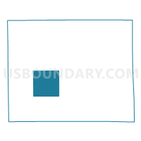
Voting District 0255762000001, Calhoun County, Michigan
About
Outline

Summary
| Unique Area Identifier | 596129 |
| Name | Voting District 0255762000001 |
| County | Calhoun County |
| State | Michigan |
| Area (square miles) | 36.39 |
| Land Area (square miles) | 36.01 |
| Water Area (square miles) | 0.38 |
| % of Land Area | 98.97 |
| % of Water Area | 1.03 |
| Latitude of the Internal Point | 42.21140280 |
| Longtitude of the Internal Point | -85.12510620 |
Maps

Graphs
Select a template below for downloading or customizing gragh for Voting District 0255762000001, Calhoun County, Michigan


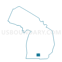
Neighbors
Neighoring Voting District (by Name) Neighboring Voting District on the Map
- Voting District 0250390000001A, Calhoun County, MI
- Voting District 0250592000011, Calhoun County, MI
- Voting District 0251182000001, Calhoun County, MI
- Voting District 0252593500004, Calhoun County, MI
- Voting District 0253050000001, Calhoun County, MI
- Voting District 0254706000001, Calhoun County, MI
- Voting District 0254706000002, Calhoun County, MI
- Voting District 0255196000001, Calhoun County, MI
- Voting District 0257918000001, Calhoun County, MI
Top 10 Neighboring County Subdivision (by Population) Neighboring County Subdivision on the Map
- Battle Creek city, Calhoun County, MI (52,347)
- Emmett charter township, Calhoun County, MI (11,770)
- Leroy township, Calhoun County, MI (3,712)
- Marshall township, Calhoun County, MI (3,115)
- Athens township, Calhoun County, MI (2,554)
- Newton township, Calhoun County, MI (2,551)
- Burlington township, Calhoun County, MI (1,941)
- Tekonsha township, Calhoun County, MI (1,645)
- Fredonia township, Calhoun County, MI (1,626)
Top 10 Neighboring Place (by Population) Neighboring Place on the Map
Top 10 Neighboring Unified School District (by Population) Neighboring Unified School District on the Map
- Harper Creek Community Schools, MI (15,207)
- Marshall Public Schools, MI (13,699)
- Union City Community Schools, MI (6,084)
- Athens Area Schools, MI (4,785)
Top 10 Neighboring State Legislative District Lower Chamber (by Population) Neighboring State Legislative District Lower Chamber on the Map
Top 10 Neighboring State Legislative District Upper Chamber (by Population) Neighboring State Legislative District Upper Chamber on the Map
Top 10 Neighboring 111th Congressional District (by Population) Neighboring 111th Congressional District on the Map
Top 10 Neighboring Census Tract (by Population) Neighboring Census Tract on the Map
- Census Tract 27, Calhoun County, MI (6,263)
- Census Tract 20, Calhoun County, MI (5,060)
- Census Tract 28, Calhoun County, MI (4,495)
- Census Tract 38, Calhoun County, MI (4,128)
- Census Tract 19, Calhoun County, MI (4,056)
- Census Tract 29, Calhoun County, MI (3,145)